

 Spanish
 Chinese (simplified)
 Dutch
 French
 German
 Italian
 Norwegian
 Polish
 Romanian
 Russian
Click to view Facebook page
Two rivers, one narrow exit, two high tides and an average depth of 18 inches. How Christchurch Harbour works, and where to stand to watch it.
18th November 2026

Click to view Facebook page
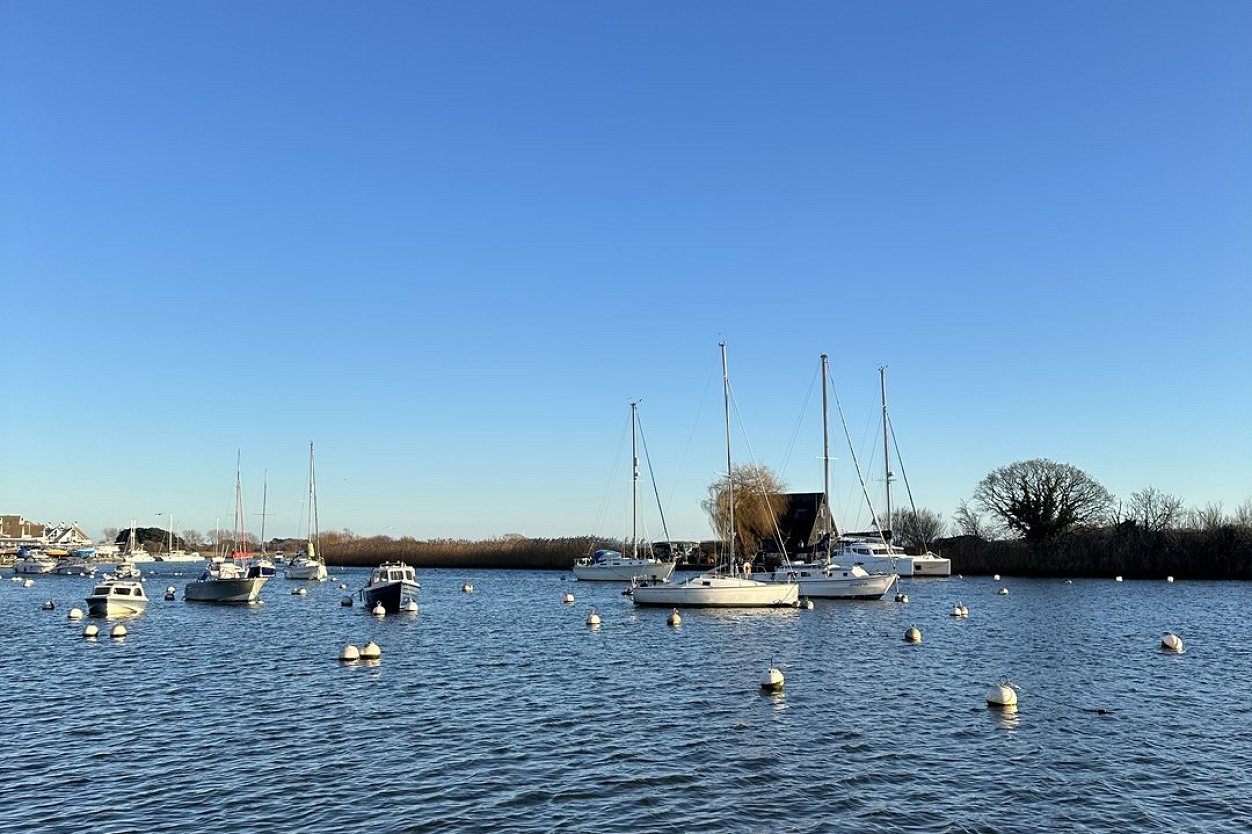
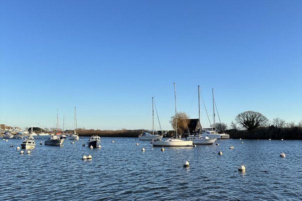
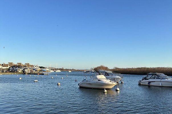
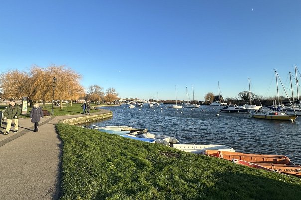
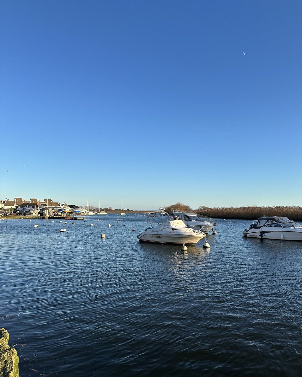
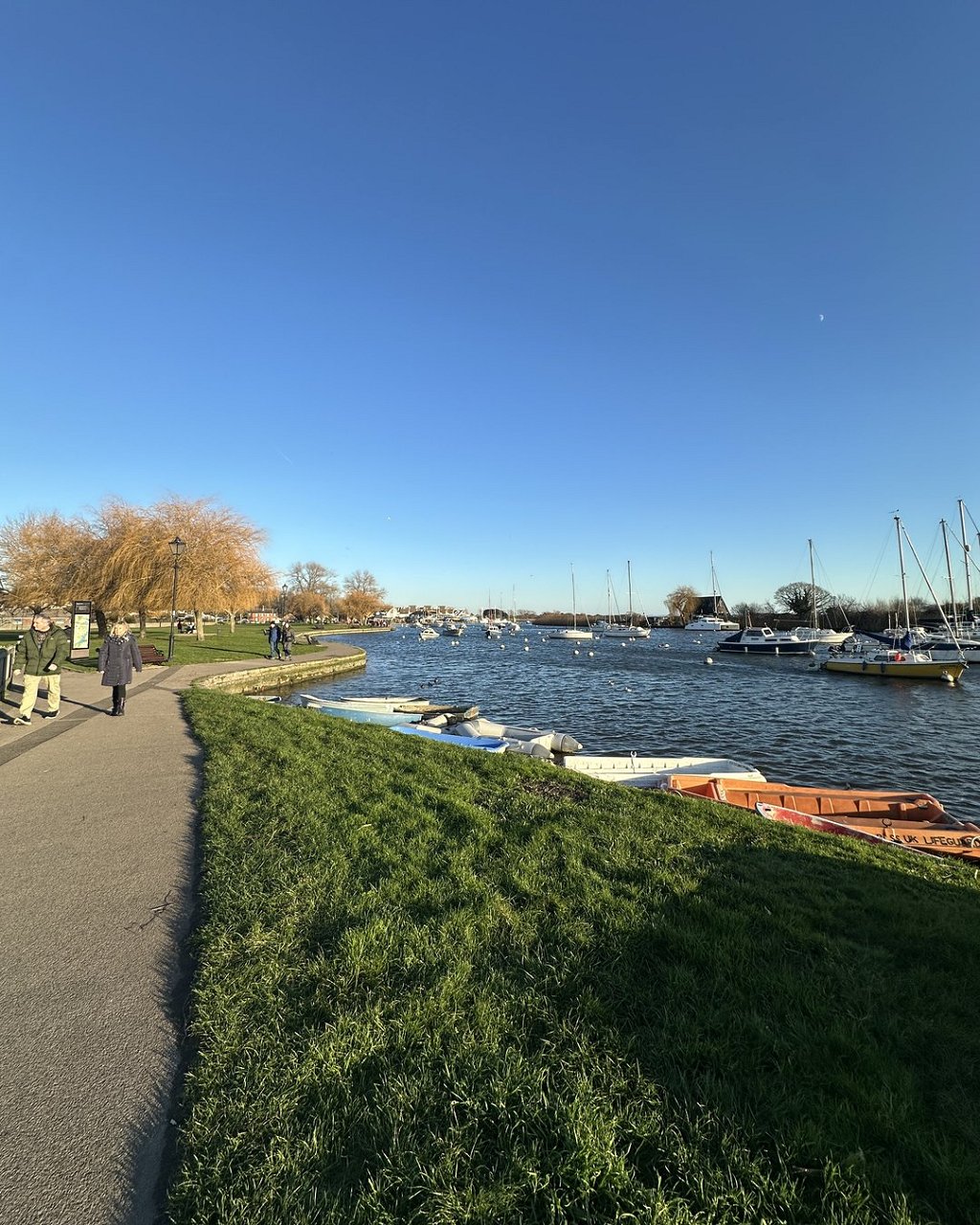
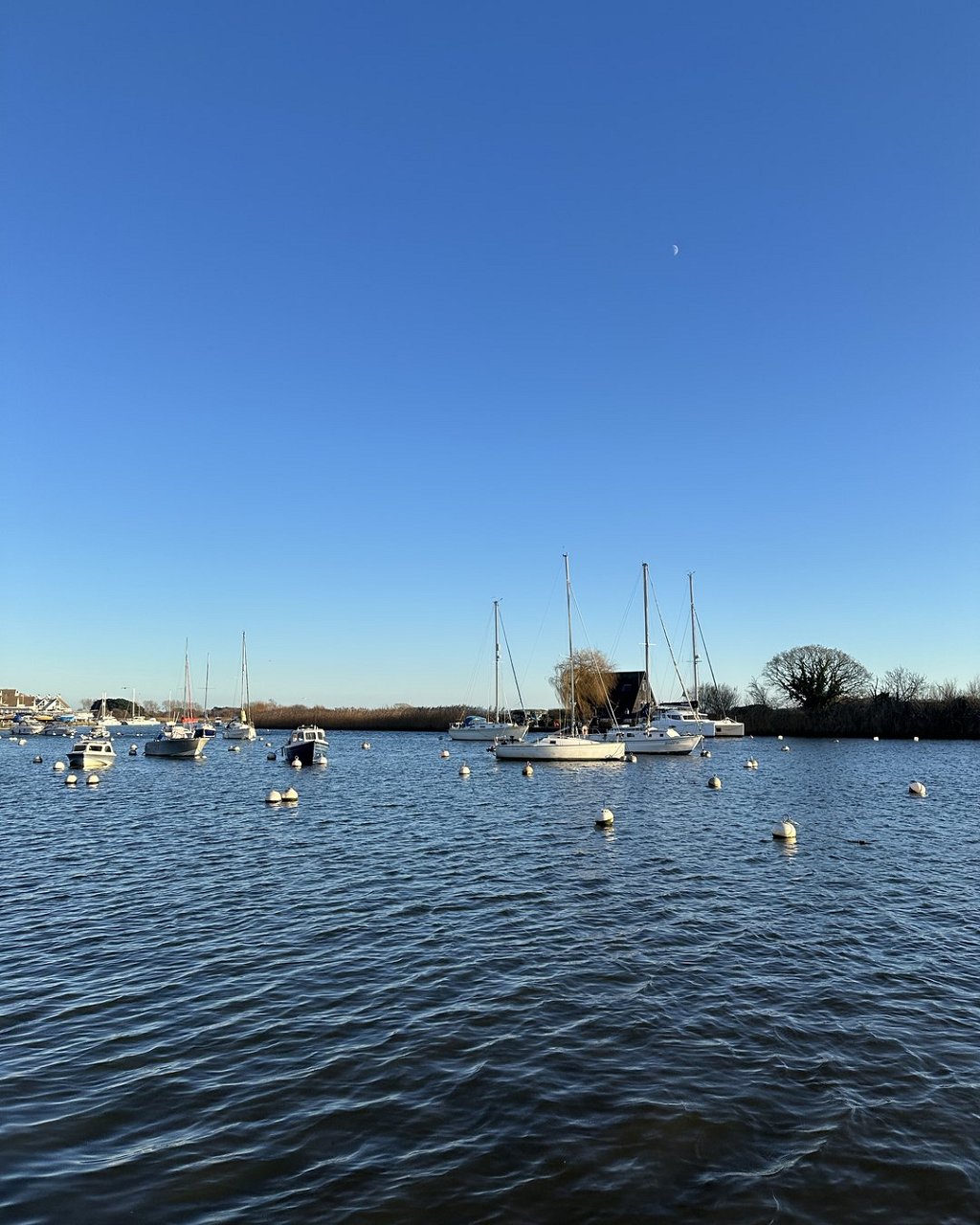
From Christchurch Quay the harbour looks like a calm lake with boats on it. It is a stranger piece of water than that. Two rivers pour into it, the sea gets in and out through a single narrow gap, the tide comes in twice, and for most of its area an adult could wade it. Knowing how it works changes what you notice the next time you walk beside it.
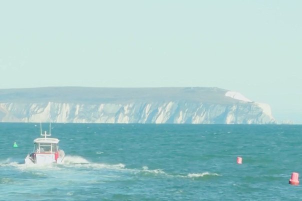
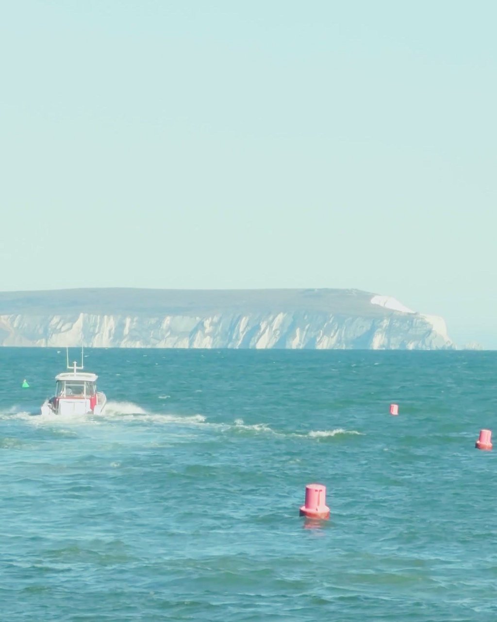
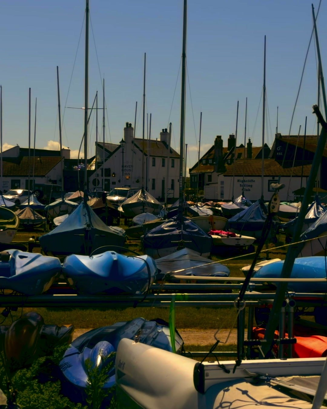
The Stour and the Avon meet just below the Priory and spread out into a harbour that runs east to Mudeford. Everything those two rivers bring down, and every tide the sea pushes in, has to pass through one channel at Mudeford Quay. Locals call it The Run. On one side is the quay, on the other the tip of Mudeford Sandbank, and the gap between them is a short ferry ride wide.
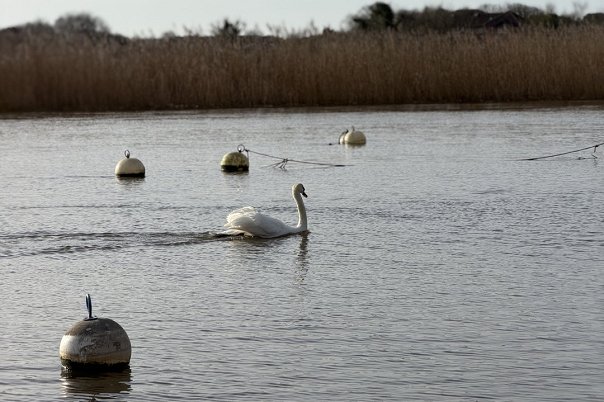
The rivers carry silt, the harbour is sheltered, and the silt settles. Official guidance for boat users puts the average depth outside the marked channels at about 18 inches, and large areas dry out completely at low tide. Boats that draw more than about three and a half feet can struggle to get in at all.
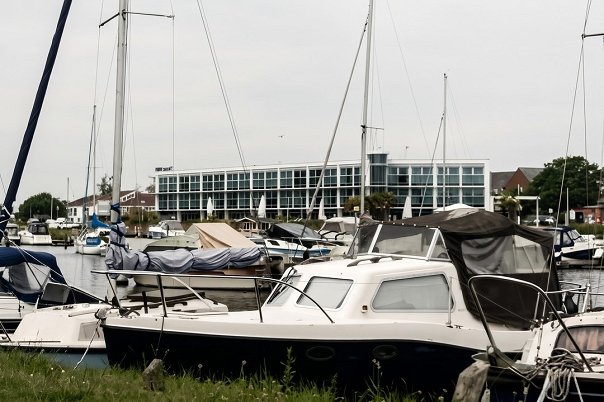
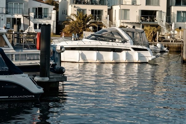
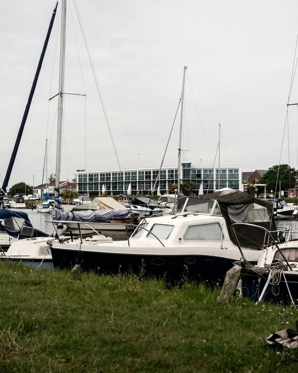
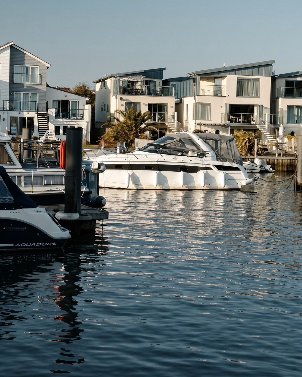
That is why the boats here look the way they do. The blue passenger ferries that have worked the harbour since the 1930s were designed to float in ten inches of water when empty and fifteen with fifty passengers aboard. It is also why the channel markers matter. They are laid each year by the volunteers of the harbour association, from around the early May bank holiday to the end of September.
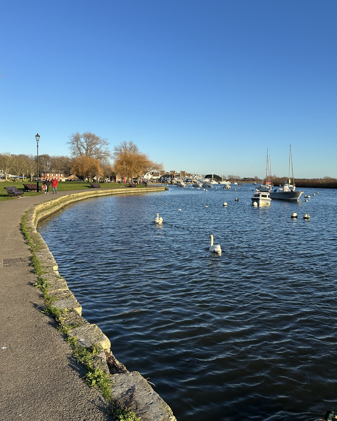
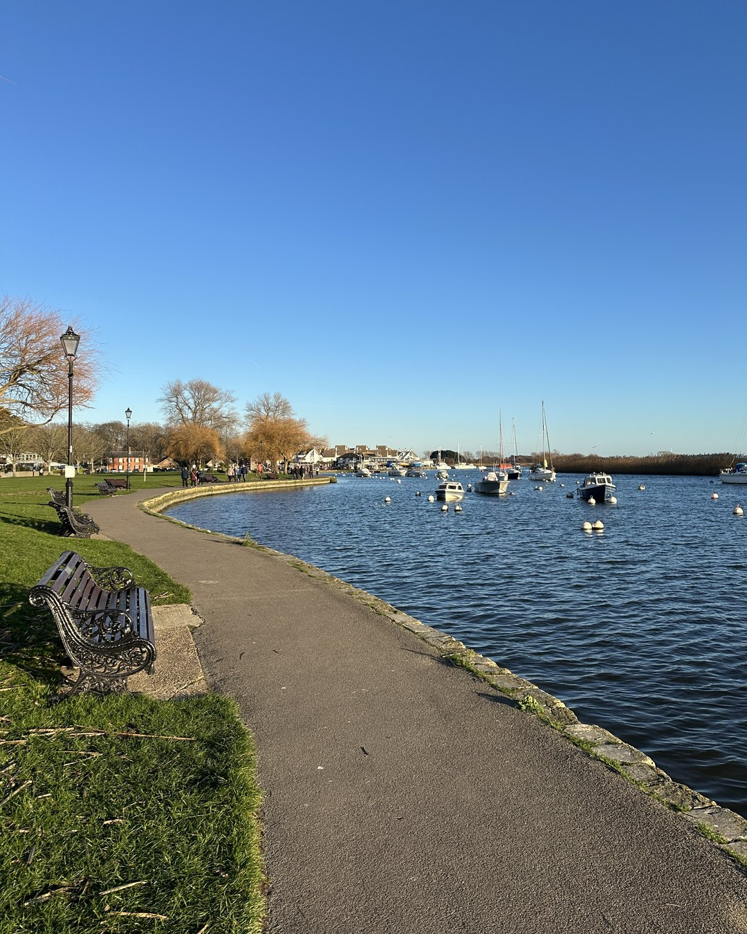
Most of the British coast gets a simple tide: up for six hours, down for six. Christchurch shares a local quirk with Poole and the Solent. High water arrives, eases, then comes back, so the level stays near the top for hours. Sailors call it a long stand. Christchurch Sailing Club notes that the double high tides give a prolonged stand, which hands small boats a generous window over the shallows.
You can see it without a tide table. If the water at Stanpit Marsh seems to sit at the top of the bank for hours, you are watching the stand.
All that water has to leave. On the ebb, with river flow added to the falling tide, the current in The Run can reach eight knots. That is faster than many small boats can motor, and it is part of the reason revenue crews were wary of chasing smugglers into the harbour in the eighteenth century. The full story is in our piece on the Battle of Mudeford.
Stand on the quay wall on a falling tide and you can watch it slide past, smooth and quick. Enjoy it from the wall. It is no place to swim.
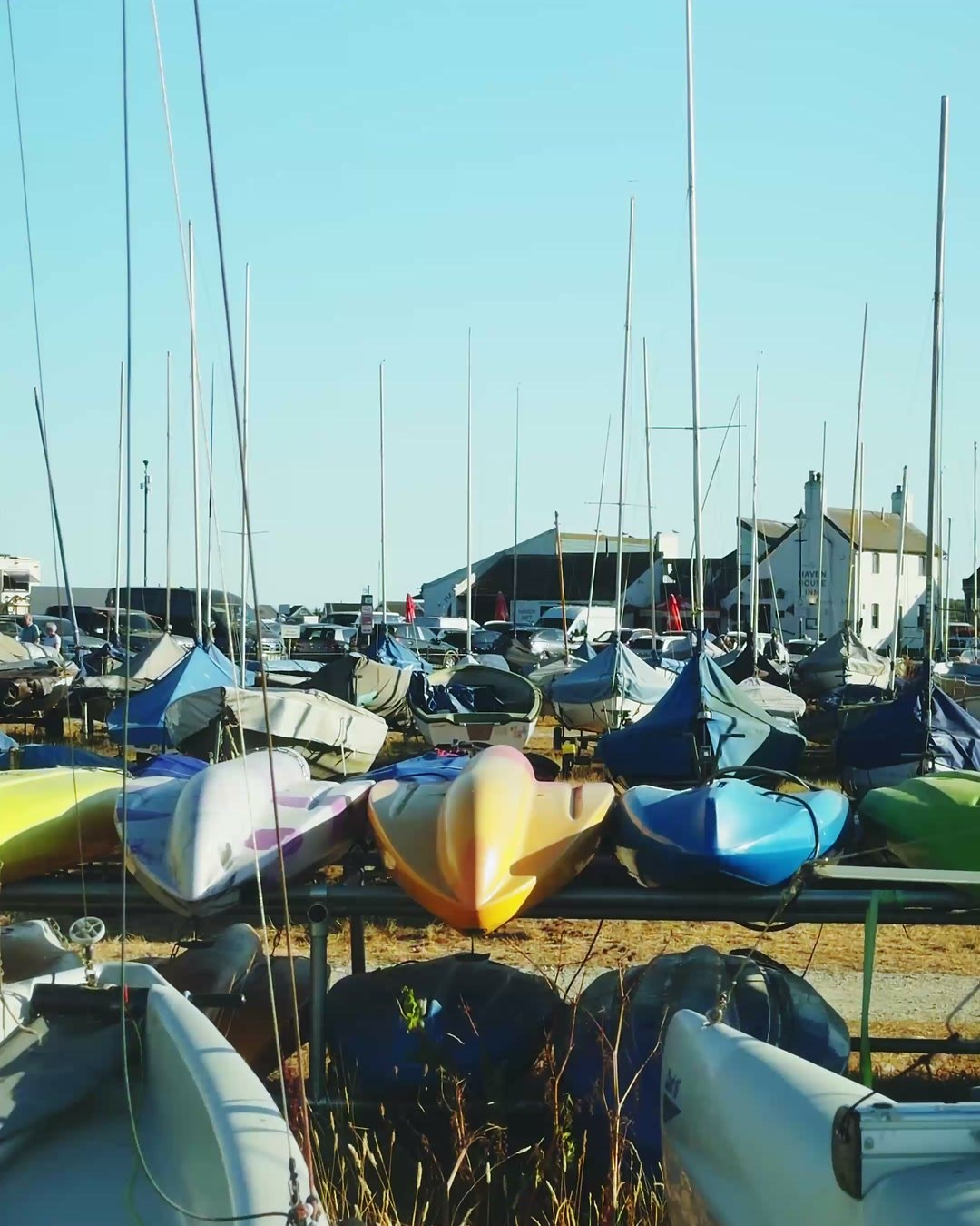
The entrance has not always been where it is. In 1665 Edward Hyde, Earl of Clarendon, had a new entrance cut, hoping to open the harbour to bigger ships. It silted up. The sea has also made its own attempts. It broke through the sandspit in December 1910 and again in 1924 and 1935.
The sandbank is still all that stands between the harbour and the open bay. You can walk its full length from Hengistbury Head.
For The Run, go to Mudeford Quay on a falling tide. For the shallows, walk the path round Stanpit Marsh at low water, when the channels are the only wet part left. For the whole picture, climb Warren Hill on Hengistbury Head, where you can see the harbour, the sandbank, the Priory and the open sea in one view. And for a slow look from the middle of it, the Mudeford Ferry runs at weekends and in school holidays through the winter when the weather allows.
Outside the marked channels the average depth is about 18 inches, and large areas dry out at low tide. Boats drawing more than about three and a half feet can struggle to enter.
Christchurch shares a tidal quirk with Poole and the Solent. High water arrives, eases and returns, so the water stays high for several hours. Sailors call this a long stand.
The Run is the narrow entrance to Christchurch Harbour between Mudeford Quay and Mudeford Sandbank. On the ebb the current there can reach eight knots.
The River Stour and the River Avon meet just below Christchurch Priory and flow into the harbour together.
It is not a safe place to swim. The current in The Run is very strong, reaching up to eight knots on the ebb. Watch it from the quay wall and swim at the beaches instead.
Featured Listings
Practical Magic 2 at The Regent, Christchurch
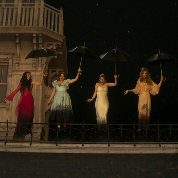
Sandra Bullock and Nicole Kidman return as the...
Druid House Hotel Christchurch
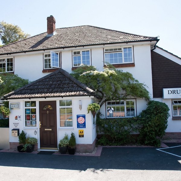
Druid House Hotel is an award winning, family run...
Asian Dining in Christchurch Dorset

Christchurch in Dorset offers a growing selection...
The Bear of Burton Launches a Welcoming New Weekly Community Coffee Morning

The Bear of Burton has launched Bear and Belong...
Christmas Events in Christchurch 2026: Markets, Santa and Festive Days Out

Discover Christmas events in Christchurch for...
7 Art Galleries & Sculpture Spots in Dorset: Between Poole and Christchurch

Discover seven art galleries, museums and...
Back Into Hell – Meat Loaf and Jim Steinman Tribute at The Regent, Christchurch

Back Into Hell marks 50 years of Bat Out of Hell...
Top Home Design Studios in Christchurch

Discover five of the top home design studios in...
Christchurch Motor Company

Christchurch Motor Company are specialists in low...
Aura Beauty Christchurch

Aura Beauty Boutique is a well-established,...